Introduction
Hey Shroomfam!
Since Day 1, we’ve had a lot of love and support from all of you in Toronto – and we get a lot of emails with people (both locals and visitors) asking where we think the best hikes in Toronto are to enjoy a magic mushroom trip. Well, we decided to do an investigation. We consulted with senior psychonauts – magic mushroom experts from the city – and asked for their recommendations.
In our opinion, what makes for a great shroom hike are 4 things: location, length, natural beauty and privacy,
They told us, and we’re here to report to you – so without further adieu, here are our Top 10 Hikes for Magic Mushroom Lovers in Toronto!
The List
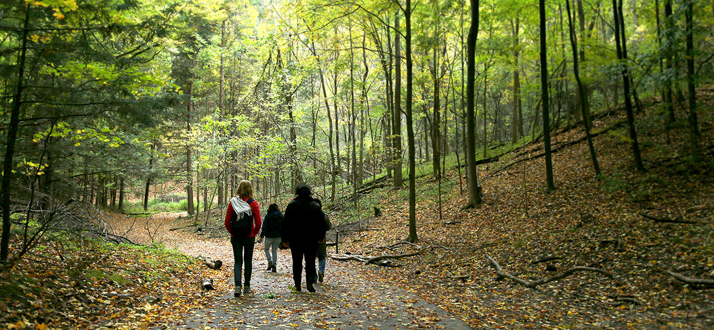
Rouge Park
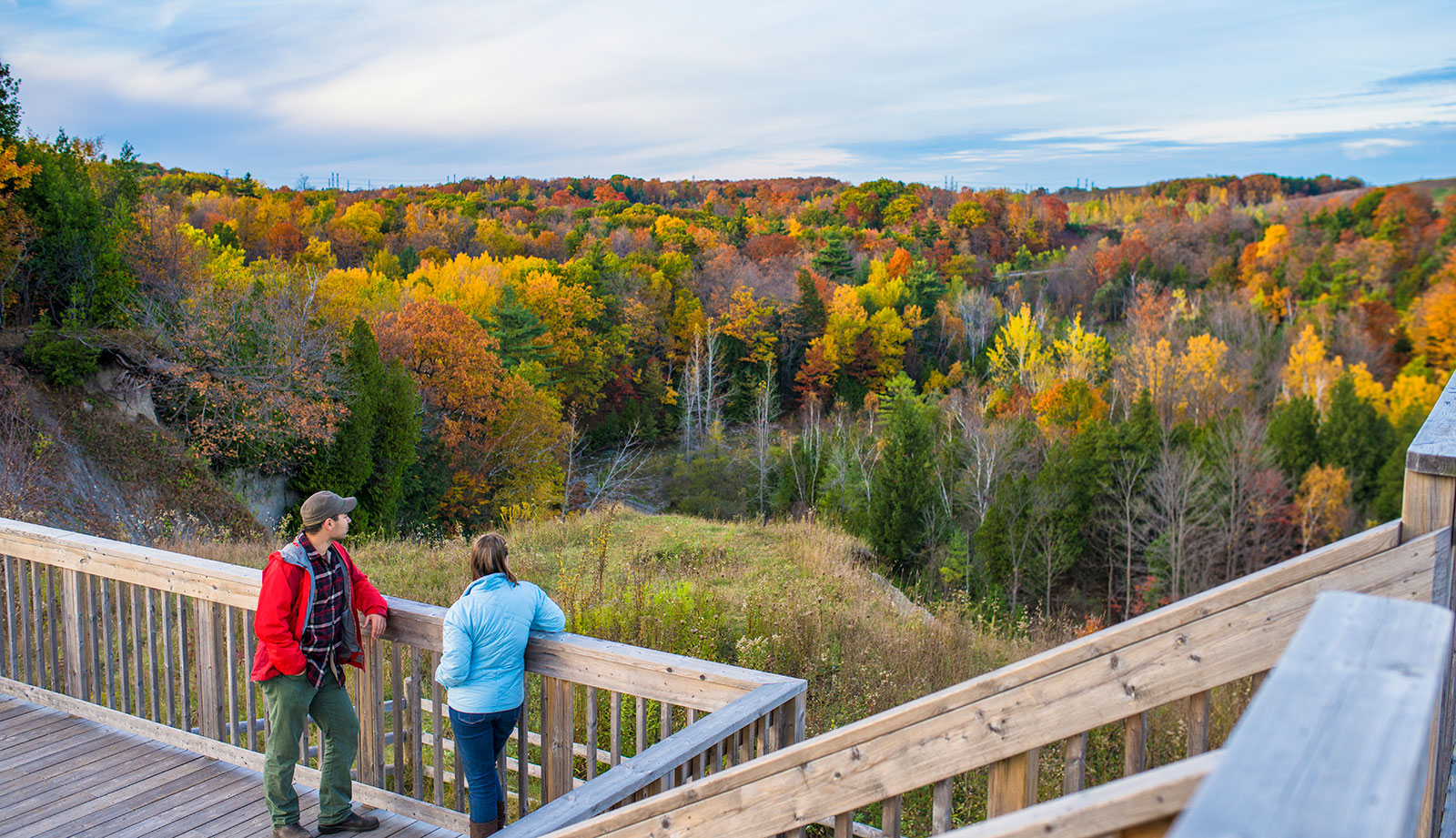
is a great place to spend the day, hiking and enjoying nature. It’s located about half hour east of downtown Toronto, and there are several main entrances that lead up into the park itself. There are signs at each entrance showing you where to go next when hiking along different paths inside – however it can get confusing if you’re not paying attention! Some trails will end up leading to other ones without warning, so be sure to bring a map with you or have cell service so you can use Google Maps on your phone while exploring the area. That being said, once you find yourself deep within the forested areas of Rouge National Urban Park, getting lost is part of what makes it so fun!
The trails are all relatively short, easy to moderate hikes that take anywhere from 30 minutes to a couple hours. There aren’t any strenuous areas or very difficult climbs – they’re mostly flat and follow along the main roads through parts of the park as well as over bridges crossing creeks and rivers. The scenery is beautiful in every season: make sure you go on a hike during spring when everything has started blooming again after winter’s dormancy, or visit Rouge Park Trails at fall time for some gorgeous foliage views (and maybe even catch an amazing view of Lake Ontario if you’re lucky). You’ll find plenty of quiet spots throughout your walk where it will almost feel like no one else exists but yourself and nature – perfect for a shroom trip!
Toronto Island

Toronto Island has several hiking trails suitable for all different levels of hikers and fitness abilities. The hikes vary from one hour to full days on the island, so it’s best to know what you’re up for before planning your visit.
The islands feature quiet areas with picnic tables or benches that can be used as a waypoint if you get lost (which is easy to do). The main trail around Centre Island runs through both forested paths and sand dunes along Lake Ontario shoreline making for fun variety throughout the hike! If any part of your route takes longer than anticipated there are public washrooms at either end of the island. To get to the island, take a ferry from the mainland at either Jack Layton Ferry Terminal or Hanlan’s Point Ferry Dock. There are several options of how you can travel, including bus and bicycle rentals on the island itself.
It’s helpful to research your route a little bit before setting out as different areas offer varying degrees of difficulty for hikers – both in distance and terrain type (sand vs forest paths). Some routes such as Gibraltar Point Beach Trail which is located near Centreville Amusement Park, require that all dogs remain leashed due to close proximity with other visitors so be sure to plan accordingly if you bringing furry friends along too!
Secluded spots on Toronto Island are definitely there for the adventurous. Beautiful clearings away form the trails and beaches await intrepid explorers – but we don’t want to spoil the fun by sharing all the details here, so we’ll let you discover it for yourself! 😉
Don Valley Trail
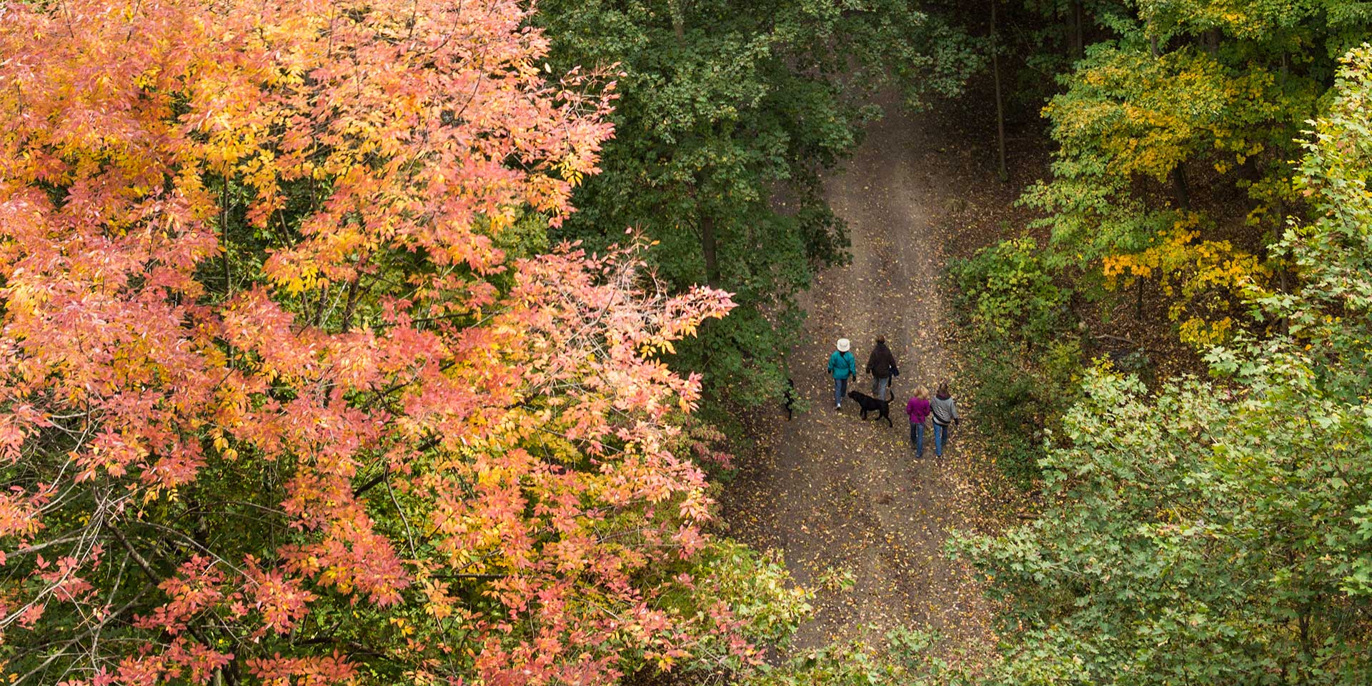
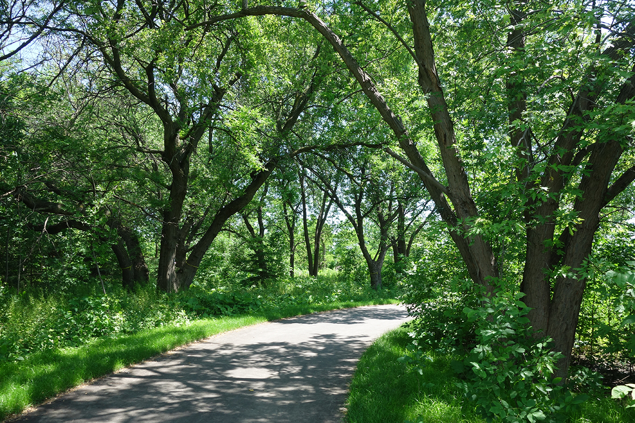
Don Valley Trail is a beautiful hiking trail located in Toronto, Ontario. It is part of the larger system known as ‘The Beltline Trail’ which has over 70 kilometres of trails for you to enjoy all around the city! You can find Don Valley Trail right by Finch subway station, or you could walk from Broadview Subway Station if that’s closer for you. The hike itself starts out at about 100 metres long and goes up to 500 metres making it really easy for everyone to go on whether they are younger kids enjoying their first hikes with parents or older people who want an easier but still fun experience.
There are stairs along some parts so keep this in mind when deciding what shoes would be best! Once walking through these buildings though there aren’t any more stairs, just beautiful trails with lots of trees and little squirrels you might want to feed! The trail will take about an hour to complete depending on how in shape or out of shape you are. You can stop in the middle for a break if needed since there are benches set up along the way too. There is also another great view at around kilometre marker two when looking towards downtown Toronto where all the tall buildings sit so it’s fun taking pictures here too!
If you are looking for a spot to have lunch or just take a break, there is also an area set up called the ‘Don Valley River Park’ which has picnic tables and playground equipment in case anyone wanted to bring their kids along. This park sits right on top of the river so it’s really fun going down little hills with huge jumps if one was brave enough! There’s also bridges made out of wood that sit over this part too where people can walk across and enjoy views from either side.
Bruce Trail
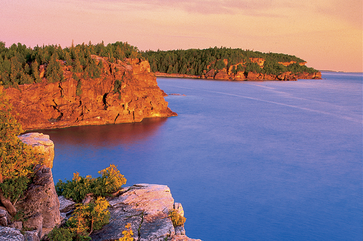
Bruce Trail is a scenic hiking trail that is perfect for hikers who want to explore the beauty of Ontario. This 500 kilometre long trail runs from Queenston Heights in Niagara Falls all the way up to Tobermory on the Bruce Peninsula at Lake Huron. In Toronto, it starts right along Highway 403 and ends after Dundas Peak escarpment through Peel Region near Orangeville . The full length of this hike takes about 12 days but if you are looking for a shorter trip there are plenty within 200 kilometres from downtown Toronto as well!
Hikes ranging between 20-40 kilometers can be done easily by people with different fitness levels, including children over 11 years old. Alongside these easy hikes there are also difficult ones where you will have to climb ladders and use ropes. The Toronto section of the Bruce Trail is full of beautiful scenery including cliffs, waterfalls, woodlands and wildlife such as beavers and deer. When you come across a quiet spot on the trail it’s easy to imagine yourself in another world far away from city noise!
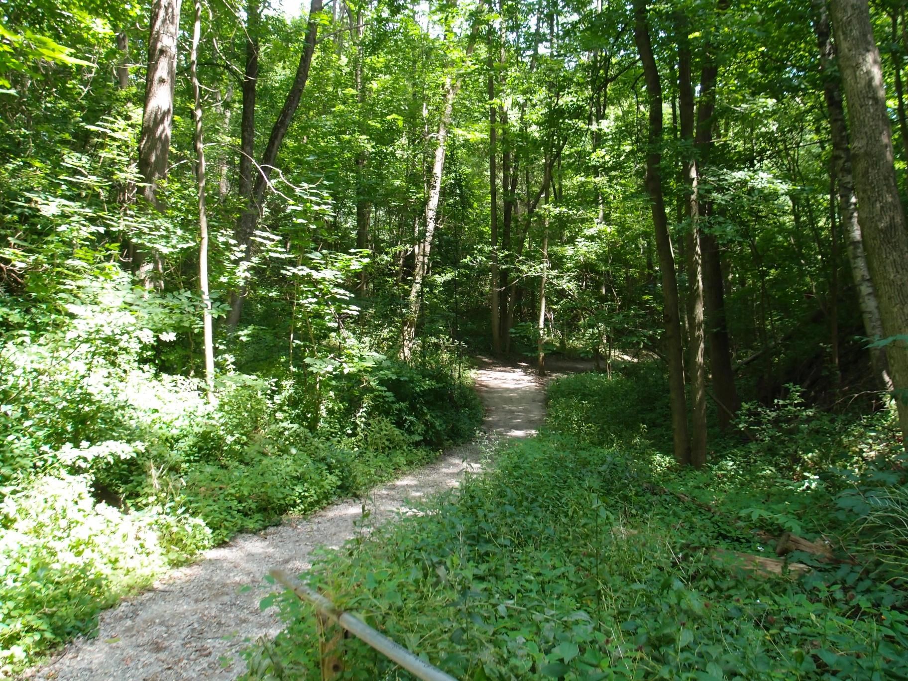
Pine Point Trail
Pine Point Trail is located in Toronto at the Scarborough Bluffs . This trail is only about an hour drive from downtown and offers lots of scenic views. The hike itself is fairly easy with some steep trails, but it’s well worth it for the incredible view you’ll see up top! There are two lookout points that offer different views so make sure to do both hikes if possible. You can also continue past these for a longer walk if desired; there are no loops on this trail, however.
Pine Point Trail has become very popular recently as more people discover its beauty over time which means overcrowding during peak hours (weekends) especially in summertime when school gets out early enough. If you want to avoid crowds go earlier or later outside of these times which is possible even in the wintertime.
This trail can be done as long or short as desired by hikers with different fitness levels. It takes about 40 minutes for one loop around lookout points up top which are at each end of the trail , but there are also smaller lookouts that only take 20-30 minutes round trip from parking lot if preferred.. Scenery: This hike offers incredible views along cliffs overlooking Lake Ontario. Wildlife such as deer and beavers are often spotted along the way. Pine Point Trail is located right at Scarborough Bluffs in Toronto; there are lots of grassy fields and parking lot nearby to access trails. This trail offers beautiful views over Lake Ontario, cliffs overlooking water, woodlands with wildlife including beavers and deer as well as amazing rock formations throughout the hike itself .
Kortright Centre Trails
The Kortright Centre Trails are located in northern Ontario at the Kortright Centre for Conservation . There are more than 90 kilometers of trails offering a range of difficulty levels between easy and challenging. The best times to hike here would be spring until fall depending on weather conditions; winter is also doable but expect some frozen lakes and muddy ground.
Hikes ranging from 20-40 kilometres can be done easily by hikers with different fitness levels, including children over 11 years old although if not used to hiking it will take longer due to steepness in certain parts so plan accordingly. Alongside these easy hikes there are also difficult ones where you have climb ladders or use ropes which can make things interesting!
Some of the trails lead to great lookout points, like one that stands at more than 600 meters above sea level. A fantastic way to enjoy the view is by camping overnight up there, or enjoying a picnic on your hike back down (it’s not uncommon for some hikers to take longer than expected and return after dark). The scenery is beautiful and changes with the season; in spring there are vibrant blooms of wildflowers, in summer the trees provide a shade from which to appreciate them more deeply. In fall you will enjoy rich reds and oranges all around while winter offers snow-covered trails that feel like being on another planet!
Finding quiet spots can be difficult due to how busy this place gets but if you have time it’s worth exploring all possibilities until something works out. Once again depending on your fitness level getting lost happens so prepare accordingly by bringing a map or downloading one before going hiking here since cell reception isn’t always reliable. And don’t forget about bug spray for those humid days where mosquitoes seem extra hungry!
Guildwood Park Trails
Guildwood Park Trails is located right on the Scarborough Bluffs, which means its trails are absolutely stunning. The park’s many paths wind through trees and plant life, along creeks and ponds with wildlife to be seen all around you. Whether you want an invigorating hike or a quiet walk by the water, there is no wrong choice here! The trails themselves run from a couple of miles to half a dozen or more, and while they can be quite steep in some places there are plenty of flat sections as well. When you’re done exploring the park itself, head over to nearby Guildwood Village for food and drink afterwards!
Downsview Park Trails
Downsview Park Trails are located in Toronto, Ontario. There are four trails that vary from short and easy to long and strenuous. The longest of them is about 13km which takes roughly five hours with breaks. However if you take your time it will only be a couple of hours at most so they’re not very difficult either way! The shortest of the trails is only about five km long and takes around an hour to complete.
The scenery is great and the ponds are a lot of fun to see. There’s plenty of wildlife in the area too so sometimes you will hear animals or even spot them! Downsview Park has quiet areas for anyone who wants to get away from it all, be alone, relax with friends/family, or enjoy a little trip down shroomery lane with their friends!
There’s also some trails that go through this park, which is only about ten minutes down by car. It takes around an hour to complete but they’re not very difficult either way – just bring lots of water if it’s hot outside! These trails have similar views so don’t worry about missing out on anything when compared to the ones in Downsview Park itself.
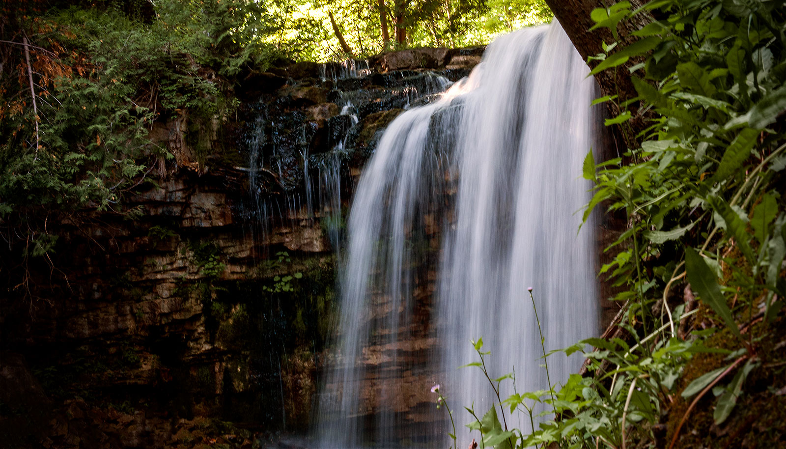
Hilton Falls Trail
Hilton Falls Trail is a great place to go hiking in and around Toronto. It is located on the outskirts of town, within driving distance from Mississauga and Burlington. The hike itself can be done as an out-and-back (two cars needed) or with return transportation offered by Hilton Falls Conservation Area’s shuttle service .
The summit trail has two loops that can be combined into one longer loop, but both loops are worth hiking separately. On the east side of the summit trail is a small pond where you can often see turtles basking on logs or fish feeding in shallow water. The west side has great views looking down over Hilton Falls (one of several at this conservation area) and beyond to Hamilton, Burlington, and Oakville.
Hiking into the gorge offers some great views of more waterfalls, but be careful as there are steep dropoffs on the edge of the trail. This part is best left to experienced hikers with good balance and sound judgement. The scenery along this hike changes constantly due to variations in elevation and proximity to different bodies of water at Hilton Falls Conservation Area.
Another great thing about this hike is that it rarely gets busy on the trails and finding spots for quiet reflection or enjoying a picnic lunch are easy to come by. The one downside of hiking here in autumn is that you may not be able to complete the whole trail as some sections can become inaccessible due to fallen leaves covering up parts of the
David Dunlap Observatory Hike
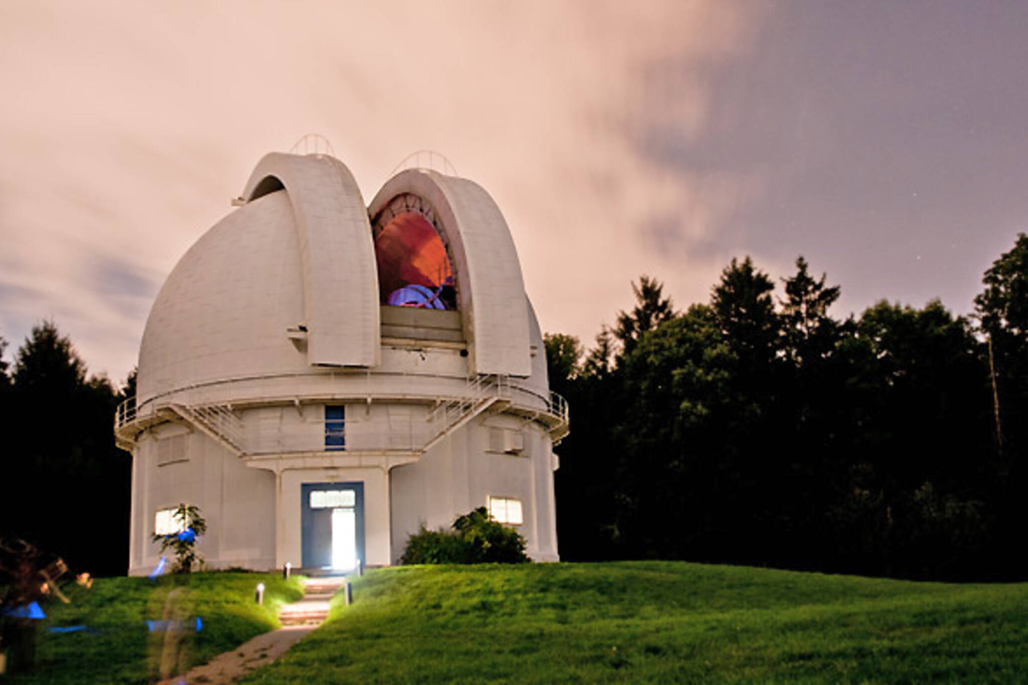
The Observatory was founded in 1935 by the University of Toronto as a centre for astronomical study. In its early years, it housed Canada’s largest telescope and also served as the headquarters for the Department of Astronomy and Astrophysics. In 1974, it became home to The David Dunlap Observatory telescope. There are a number of hikes available at this site but we opted for one that was approximately 35 minutes long with some steep parts so bring your hiking shoes! Just like all great things in life, the hike is easy enough if you start from certain spots on their property which makes it an ideal place for beginners wanting to take up hiking or who might be out-of-shape.
The hike begins with a little bit of an incline and then levels out for about 20 minutes before it goes up slightly again. It’s smooth going from there to the summit which offers great views of Toronto, including downtown skyscrapers in the distance, cottage country northwards along Georgian Bay and Lake Simcoe. There are several small trails that branch off from the main one so keep your eyes peeled for those. We found a couple of secluded spots where we could eat our lunch and take in some sun.
The Observatory is open to public every day, including holidays year-round but hours vary depending on season. They offer guided tours which can be booked online or visitors are welcome to wander around the grounds on their own. Admission is free but a donation of $15/adult and $12/senior or student, as well as a suggested donation of $20 for groups larger than 20 people are appreciated.
Final Thoughts
There are so many beautiful natural hikes around Toronto for you and your loved ones to explore on a shroom trip! We couldn’t possibly list them all in one article. Did we get your favourite hike in here? Do you have others to recommend? Let us know in the comments, and we’ll see you next time!